Search for Posts, Maps, and Topics
National Weather Service Alerts
National Weather Service website: weather.gov
● ● ● ● ● Precipitation Radars ● ● ● ● ●
To display weather alerts: click
Select View then click
National Radar
The precipitation map below is sometimes delayed by the National Weather Service and/or ArcGIS Online. Display a pixelated backup radar layer by clicking the double arrow at top-left and checkmarking the bottom layer.
● The ESRI map interface above is adequate for virtually exploring various places around the world.
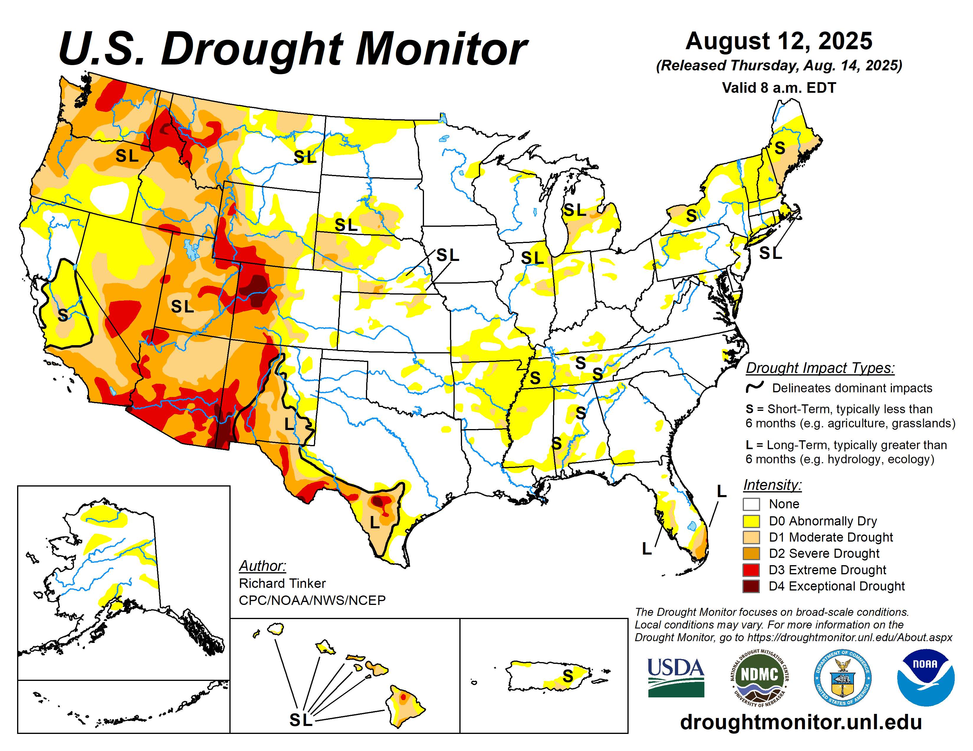
● ● ● ● ● Drought Maps ● ● ● ● ●


Blog Content
● The author of this GeoFact of the Day Blog creates and curates original, authentic content and posts information based on established facts. Blog posts are not generated by artificial intelligence (AI) but published by the author.
● Content and image graphics from other sources are properly credited. Many geography facts are well-established and therefore do not belong to any one source, but occasionally a fact requires attribution/credit if it is unique and hard-to-find — for example, facts found from specific cultural, anthropological, geological, and scientific (etc.) research.
● I do not copy and paste from other websites. Therefore, all posts are original but may sometimes include information, links, and/or images from credited external sources. To use a GeoFact of the Day Blog image for your website or project, write a comment below a post — then I may approve your request.
● Feel free to offer comments, suggestions, and compliments on any post or page! You can be anonymous. Spam comments with non-relevant links will be deleted.
● Thanks for your loyal readership on the educational and reliable GeoFact of the Day Blog, in existence since 2008!


No comments:
Post a Comment